SESSIONS
Opening Remarks and Introduction of Panelists
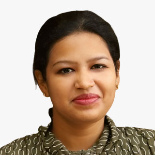
Ananya Narain
VP - Consulting, Geospatial World
3D National Topography Model - Scope and Elements
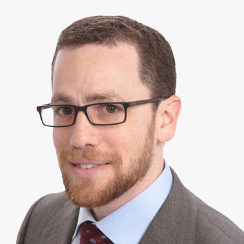
Mike Tischler
Director, USGS National Geospatial Program
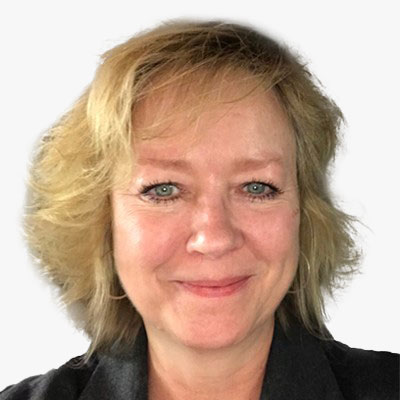
Vicki Lukas
Chief, Topographic Data Services, USGS National Geospatial Program
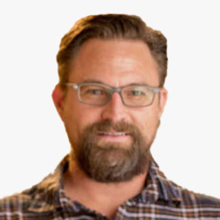
Jason Stoker
Elevation and Science Applications Lead, USGS National Geospatial Program
Panel discussion - 15 min
3DNTM - Key Benefits and Value Proposition of Collaboration

Vicki Lukas
Chief, Topographic Data Services, USGS National Geospatial Program

John Copple
CEO, Sanborn Map Company

Larry Sugarbaker
Dewberry
Pierce Homer
Transportation Director, Moffatt & Nichol, Infrastructure
Marc Prioleau
Head of Location Partnerships, Meta
Mike Jeffe
Open Geospatial Data lead, AWS

Patrick Cozzi
CEO, Cesium
Panel discussion - 30 mins What private sector entities will benefit and how can we better engage them as partners to accelerate the program?
Coffee Break
Potential collaboration opportunities between Federal Agencies and Private Sector

Jason Stoker
Elevation and Science Applications Lead, USGS National Geospatial Program

Jason Stoker
Elevation and Science Applications Lead, USGS National Geospatial Program

Ananya Narain
VP - Consulting, Geospatial World
Brian Soliday
Chief Revenue Officer, VoxelMaps

Trevor Taylor
Senior Director, OGC
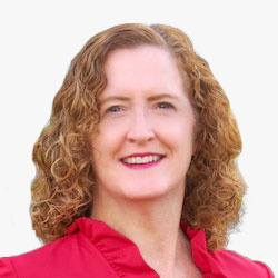
Lea Shanley
Director and CEO, ICSI

Joe Seppi
Geospatial Sector Leader, Senior Vice President, Woolpert
Panel Discussion - 10 mins Areas of potential where collaboration with the private sector could accelerate access and use of 3D topographic data
3DNTM Collaboration - Way Forward and Next Steps

Mike Tischler
Director, USGS National Geospatial Program
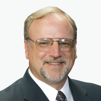
Mark Reichardt
Senior Consultant, Geospatial World

Barbara Ryan
Executive Director, WGIC
Panel Discussion - 20 mins
Areas of potential where collaboration with the private sector could accelerate access and use of 3D topographic data
- What are next steps for more fully fleshing out each option?
- Are there additional ideas for tangible next steps to follow up on?
Closing Remarks
GeoBuiz Summit Welcome Reception
