BACKGROUND
Public-Private Partnerships (P3s) are often referred to as an innovative approach to advancing public infrastructure. P3s are typically based on well-defined objectives and outcomes, with emphasis on long-term agreements that promote trust, co-investment, mutual benefit / value and sharing of risk among all parties, and measures to confirm attainment of objectives. P3s have gained momentum in the global marketplace as a mechanism to address challenging long-term public infrastructure needs. Can the P3 model be effectively applied to support critically important digital public infrastructure such as geospatial information and services?
A range of innovative partnerships, including a handful of P3s have emerged in the context of geospatial, but the expansion of true P3 arrangements has not yet materialized. Limiting factors may include restrictive government statues, an incredibly diverse number of government authorities responsible for geospatial, and the challenges of establishing clear business models to support both public needs This pre-conference workshop is designed to explore the challenges and potential ways forward for advancing P3s and other innovative partnerships to improve the availability of geospatial assets to government, businesses, citizens, and consumers. This may lead to new value-based partnerships based upon co-creation and sharing the value of derived knowledge. Results and recommendations from this workshop will be published for follow-on actions to advance the geospatial knowledge infrastructure.
OBJECTIVE
The roundtable will:
- Define what is meant by a PPP in the geospatial domain.
- Bring together leaders from the public and private sectors to discuss the innovations in partnerships to help deliver next-gen geospatial infrastructure
- Help identify the merits and challenges of P3 delivery structures and project delivery models
- Explore what is needed to bring parties to the table to discuss needs and potential partnerships
- Differentiate between PPPs for various sectors of geospatial ecosystem.
- Discuss potential next steps, such as the feasibility of P3 pilots – what type of projects are best served?
TENTATIVE AGENDA
AGENDA
Welcome Tea/Coffee
Opening Remarks by Chairpersons
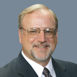
Mark Reichardt
Class M Associates

Keith Mashback
Principal Consultant, Plum Run
Setting the tone: Presentation on PPP
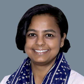
Anamika Das
Vice President – Program Management, GW Events, Geospatial World
Keynote Remarks - A Local / Regional Perspective
Keynote Remarks - A National Perspective
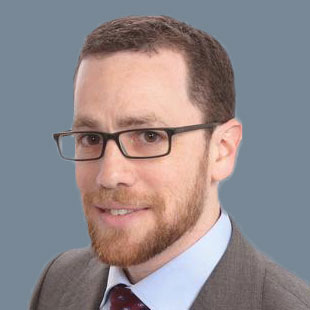
Dr. Michael Tischler
Director of the National Geospatial Program (NGP), U.S. Geological Survey (USGS)
Keynote Remarks - A Global Perspective
Discussion 1: Partnerships for Geospatial Knowledge Co-creation and Value-sharing

Ryan Bank
Global Managing Director, Geospatial Insurance Consortium (GIC)
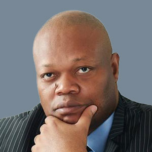
Albert Momo
Vice President and Executive Director of Emerging Markets and Funded Projects, Trimble

Nicole Washington
Chief Transformation Officer for Research, National Geospatial-Intelligence Agency

Caroline Thomas Jacobs
California Office of Energy Infrastructure Safety
Discussion 2: Evolving Opportunities and Challenges for P3s: Where P3s can work and where other mechanisms better serve objectives

Dan Hight
Vice President – Business Development, NextNav

Pat Cummens
Director of Government Strategy and Policy Solutions ESRI

David Urness
Data Product Team, Google

Patrick Arbuthnott
What3Words
Discussion 3: Business Models and Financing Solutions
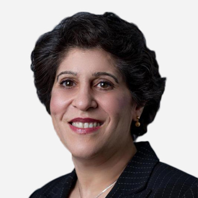
Dr. Nadine Alameh
President & CEO, Open Geospatial Consortium

Joseph Seppi
Geospatial Sector Leader, Senior Vice President, Woolpert
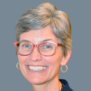
Deirdre Dalpiaz Bishop
Chief Geography Division, US Census Bureau and Head of Delegation to the UN Expert Group on Global Geospatial Information Management
This workshop is by invitation with limited seating capacity. Kindly write to [email protected] for any queries.

Erik Holmlund is the Executive Director of Alberta Data Partnerships (ADP), a private, not-for-profit, public-private-partnership that focuses on connecting data creators with data users. Formed in 1996, ADP is responsible for geospatial and ownership mapping and data distribution within the Province of Alberta through partnerships with the private sector firms: Altalis, MNC and Abacus Datagraphics. ADP is a stakeholder-driven company with a Board of Directors consisting of Government, Municipalities and Industry.
Prior to his work at ADP, Erik had various roles with geomatics and technology firms on projects in Canada, Africa, Australia and Papua New Guinea. He has a Bachelor's Degree in Environment and Conservation Sciences from the U of A and a Master's Degree in Geomatics Engineering from UNB.
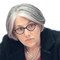
Under Barbara J. Ryan’s leadership, millions of satellite images and other Earth observation data have been made available to the general public at no charge, allowing scientists, planners and policy makers to make better-informed decisions on problems that transcend political boundaries. Her work addresses critical issues in agriculture, biodiversity, climate change, disaster planning, energy, health and water.
Barbara Ryan’s career began in 1974 when she joined the United States Geological Survey (USGS). As associate director for geography at the USGS, she was responsible for the agency’s remote sensing, geography and civilian mapping programmes, including the Landsat satellites. From 2008 to 2012, she was Director of the World Meteorological Organization (WMO) Space Programme, and from 2012 to 2018, Ryan was the Secretariat Director of the intergovernmental Group on Earth Observations (GEO) in Geneva, Switzerland. In January of 2021, Barbara became the second Executive Director of the World Geospatial Industry Council (WGIC), a not-for-profit trade association of private-sector companies working in the geospatial and Earth observation ecosystem.
Ryan has served as chair of the international Committee on Earth Observation Satellites (CEOS). She has been awarded an honorary doctorate of science degree from her alma mater, SUNY Cortland. She has been named an Honorary Fellow of the American Geographical Society, in 2017 she was one of 10 global Leaders to be named to the Geospatial World Forum’s Hall of Fame, and in 2019 she was awarded the Department of Interior and NASA’s Pecora Award. She serves on several Boards and Advisory Committees including for two start-ups -- Azimuth1 and Data for Development Insights (D4DInsights), the Ecological Sequestration Trust, the International Centre for Earth Simulation (ICES), the International Symposium for Remote Sensing of Environment (ISRSE), and the Jane Goodall Institute.

Dr. Simon Musaeus
- Since 2021 VP Busines Development at Hexagon Geospatial Content Solutions (Aerial Survey equipment, services, and content)
- Until 2020 Leading COWI Mapping
- Since 2019 Co-Founder and President of the European Association of Aerial Surveying Industries (EAASI,) representing today 50 Aerial-survey-related companies with 80+ airplanes and 4500+ employees in Europe