SESSIONS
OPENING REMARK AND KEYNOTE PRESENTATIONS
Geospatial Technology – Trends and Integration

Ananya Narain
Director - GW Consulting, Geospatial World
Geospatial Infrastructure: Integration of public and commercial datasets providing value to economy and Society by

Dr. Pete Doucette
Acting Director, Earth Resources Observation and Science Centre, U.S. Geological Survey
Trends and Directions of National Mapping Agency

Albert H. Anoubon Momo
Vice President & Executive Director, Emerging Markets and Funded Projects, Trimble, USA
Discussions
TEA AND COFFEE BREAK
SESSION I:
Finding Value in Collaborative Approach by National Federal Agencies in 4IR Era
- Expectation from Foundational Data Providers (USGS)
- Collaborative approach with federal mapping agencies to enable the use of their data in support of the public good (state/local agencies)
- Using frontier technology (4IR technologies) to make this task more efficient and effective, to obtaining data for geospatial information framework
Setting the context:

Michael Tischler
Director, Geospatial Program, USGS
Speakers:

Paul Kshemendra
Chief Data Officer, Department of Veteran Affairs

Deirdre Bishop
Chief, Geography Division, Census Bureau

Dr. Lea Shanley
Director and CEO, International Computer Science Institute
1600-1630: Discussions
SESSION II:
Industry Collaboration for Enriching Data Platform: Forecasting Expectations
- Engagement and partnership with private sector for advanced data acquisition, analytics, and data sharing
- Industry collaboration towards enriching data platform
- Collaborative framework towards automated, dynamic, real-time digital environment and in select key areas
Setting the context:

Aaron Addison
Vice President, Geospatial World LLC
Speakers:
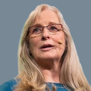
Patricia Cummens
Director of Government Strategy and Policy Solutions, Esri

Ed Parsons
Geospatial Technologist, Google UK

Rachel Olney
Founder and CEO, GEOSITE
1700-1730: Discussions
GEOBUIZ SUMMIT WELCOME RECEPTION
